BWA Assets in Cameroon
BWA have five Granted (1,421 km2) Heavy Mineral Sands licences in Cameroon, in Dehane and Nkoteng.
These licences cover significant areas of extensive river systems prospective for heavy mineral sands deposits.
Numerous explorers within adjacent and upstream/downstream locations containing historic HMS resources.
Encouraging results from exploration to date supported by independent JORC CPR.
Dehane Project
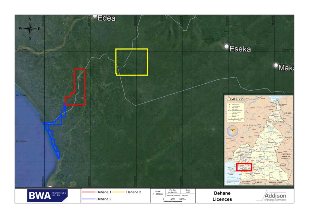
The Dehane 1 Licence covers an area of 132 km2and the contiguous Dehane 2 Licence covers an area of 54 km2. The Dehane 3 covers an area of 244 km2, bringing the total Dehane Licence package area to 430 km2. The licences arelocated some 70 kilometres from the deepwater seaport of Kribi, on the west coast of Cameroon, on the Nyong River (the same River on which Eramet’s 5 licences are located).
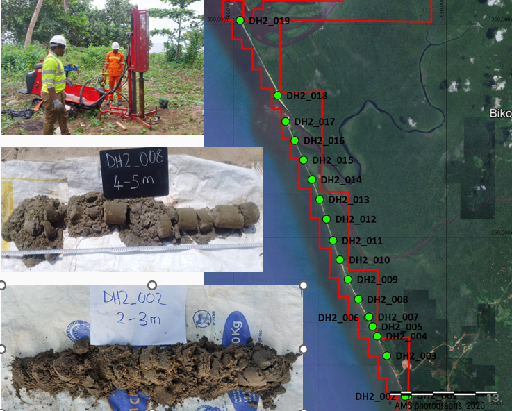
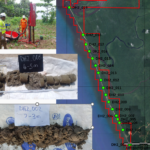
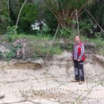
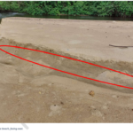
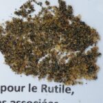
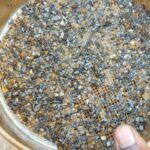
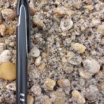
Reddish coarse-grained rutile, black ilmenite and kyanite were found in a recent exploration programme. The rutile and ilmenite content varied between 10-15% in the southern areas and around 5-10% in the northern areas where they were observed. Mineralisation was observed in all sand horizons, with greater thickness in the southern part of the Dehane 2 licence.
The Dehane 1 Licence covers an area of 132 km2 and the contiguous Dehane 2 Licence covers an area of 54 km2. The Dehane 3 covers an area of 244 km2, bringing the total Dehane Licence package area to 430 km2. The licences are located some 70 kilometres from the deep water seaport of Kribi, on the west coast of Cameroon, on the Nyong River, Nyong estuary and nearby coastline.
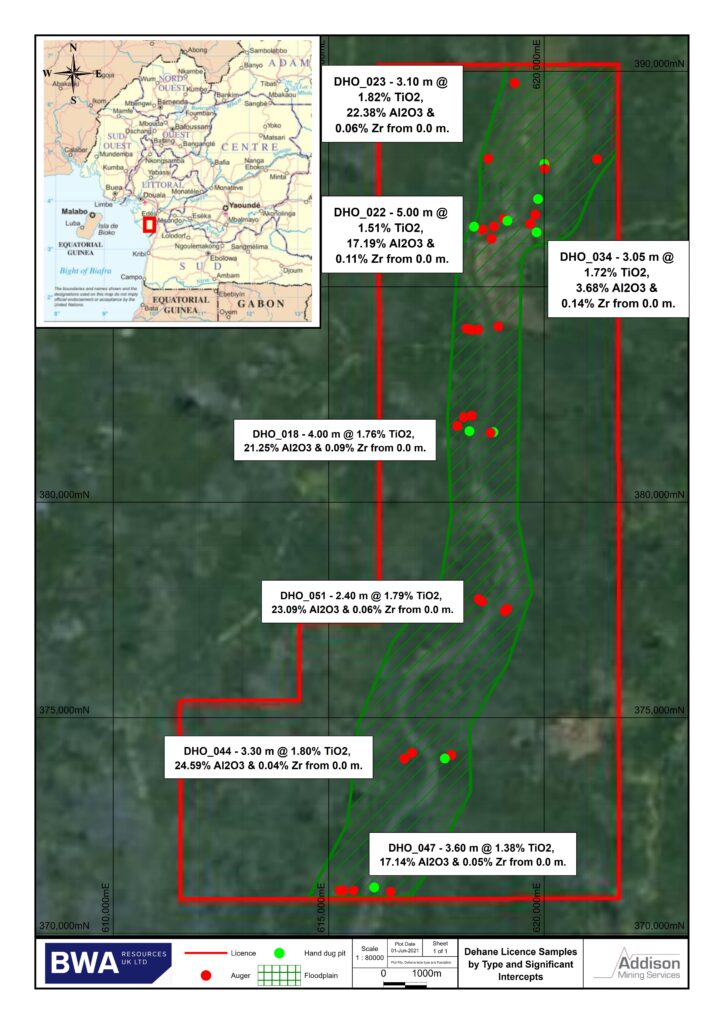
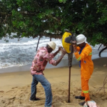
Work completed to date at Dehane 1 (renewal application pending) has involved shallow wide spaced reconnaissance pits and auger sampling which identified the presence of prospective sand and gravel horizons, returning XRF analytical results of up to 1.82% TiO2, 22.38% Al2O3 and 0.06% Zr over 3 metres from surface and of significant interest, developing an extensive anomalous target area for follow up mechanised auger drilling yet to be completed. Single hole selected heavy mineral separation work returned results of 4.5m @ 0.95% valuable heavy minerals (VHM), comprising rutile, zircon, ilmenite and kyanite. Active river bed grab sample gravels returned VHM of 3.73 %. Interpreted floodplain basal paleo-gravels at Dehane are yet to be adequately tested
Nkoteng Project
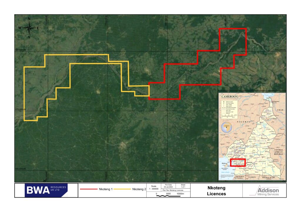
The Nkoteng 1 Licence covers an area of 343 km2 and the contiguous Nkoteng 2 Licence covers an area of 494 km2, bringing the total Nkoteng Licence package area to 837 km2. The licences comprise part of the prospective Sanaga river system and is located 60 km to the northeast of Yaoundé with easy transport links to the port of Douala.
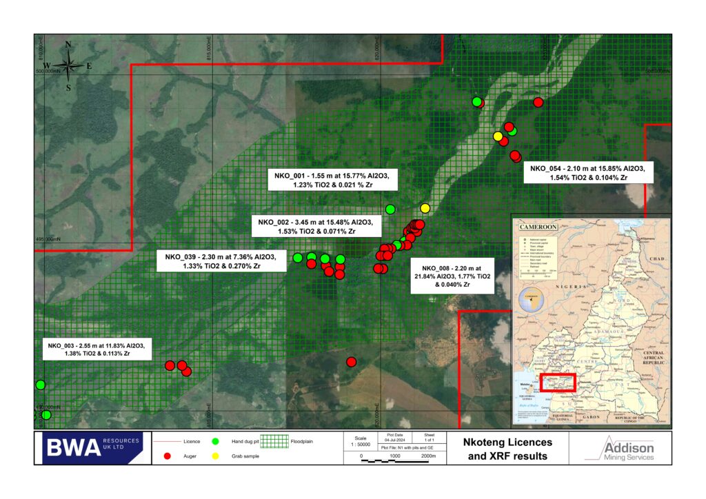
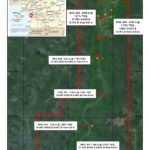
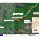
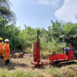
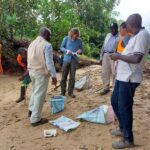
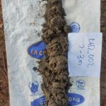
BWA completed a reconnaissance surface exploration pit and auger sampling programme conducted on the Nkoteng 1 Project (renewal application pending), The sampling programme comprised 15 hand excavated exploration pits and 38 auger holes for a total of 169.1 m and 90 samples. Results from samples confirm the area has anomalous titanium (Rutile-Ilmenite), zirconium (Zircon) and aluminium (Kyanite) with samples reporting up to 2.38% TiO2, 0.29% Zr and 25.6% Al2O3. Subsequent 107 hole shallow mechanised auger programme was completed across the main anomalous area. Single hole selected sample heavy mineral separation work returned results of 2.6m @ 3.01% THM, 1.42% VHM, comprising rutile, zircon, ilmenite and kyanite. Preliminary orientation test work on Nkoteng auger composite samples show good recoveries (>80%) of heavy minerals within the sand size fractions.
Pre-exploration
Target Area Identification
Reconnaissance Pit and Auger Sampling Programme
JORC 2012 CPR
1st Pass Triangulated Grid Mechanised Auger Programmes
Next Steps
- Close spaced follow up auger drilling for potential mineral resource estimates (D1/D2)
- Reconnaissance mapping, pitting and sampling (N2, D3)
(Please click on any image to enlarge)


